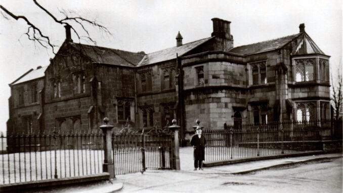
WALTON-LE-DALE village, township, and chapelry
~
Walton le Dale in Victorian Times
John Marius Wilson, Imperial Gazetteer of England and Wales (1870-72)
WALTON-LE-DALE, a village, a township, a chapelry, and a sub-district, in Blackburn parish and Preston district, Lancashire. The village stands on the river Ribble, 2 miles SE of Preston railway station; and has a post-office under Preston. The township includes Bamber-Bridge and Higher Walton villages and three hamlets; and comprises 4,630 acres. Real property, £22,358; of which £72 are in fisheries. Pop. in 1851, 6,855; in 1861, 7,383. Houses, 1,387. The property is much subdivided. Walton Lodge, Walton Hall, Darwen Bank, Darwen Cottage, Cooper Hill, Prospect Hill, Lostock Hall, and Highwood are chief residences. There are five cotton-mills, a print-works, an iron-foundry, and a corn mill; and market gardening is considerable. The chapelry formerly included all the township, but now excludes Bamber-Bridge and Higher Walton. Pop., 3,283. The living is a vicarage in the diocese of Manchester. Value, £300. Patron, the Vicar of Blackburn. The church was rebuilt about 1350, and partially restored in 1794, 1816, and 1861. There are a Roman Catholic chapel, a national school, and charities £78. The sub-district contains three townships. Acres, 9,400. Pop., 8,654. Houses, 1,634.
~
The Imperial Gazetteer of England and Wales was a substantial topographical dictionary that was first published between 1870 and 1872. It was then edited by the Reverend John Marius Wilson. It contains a detailed description of England and Wales within its six volumes, which have a brief article on each county, city, borough, civil parish, and diocese, describing their political and physical features and also naming the principal people of each place.
~
The preceding map shows the WALTON-LE-DALE township boundary on an Ordnance Survey One Inch to One Mile scale map that dates from 1896. The full map can be viewed on the National Library of Scotland website.
https://maps.nls.uk/view/101169584
The pink diamond shape has no significance, other than it is at the centre of the boundary shape, which is represented by a green line.
